Burley Park station
Introduction
The photograph on this page of Burley Park station by Chris Morgan as part of the Geograph project.
The Geograph project started in 2005 with the aim of publishing, organising and preserving representative images for every square kilometre of Great Britain, Ireland and the Isle of Man.

There are currently over 7.5m images from over 14,400 individuals and you can help contribute to the project by visiting https://www.geograph.org.uk
Burley Park station
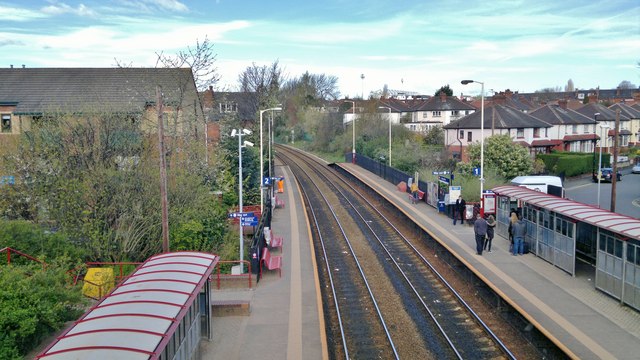
Image: © Chris Morgan Taken: 10 Apr 2014
A station you might use to get to Headingley, although buses from the city centre are more frequent, and go nearer to the cricket ground.
Images are licensed for reuse under creativecommons.org/licenses/by-sa/2.0
Image Location
Latitude
53.812526
Longitude
-1.578522