St Michael and All Angels, Elton-on-the-Hill
Introduction
The photograph on this page of St Michael and All Angels, Elton-on-the-Hill by Alan Murray-Rust as part of the Geograph project.
The Geograph project started in 2005 with the aim of publishing, organising and preserving representative images for every square kilometre of Great Britain, Ireland and the Isle of Man.

There are currently over 7.5m images from over 14,400 individuals and you can help contribute to the project by visiting https://www.geograph.org.uk
St Michael and All Angels, Elton-on-the-Hill
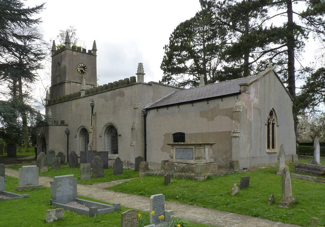
Image: © Alan Murray-Rust Taken: 6 Apr 2014
The church from the south east. Visible in this view are firstly the chest tomb of the Rev. A C Launder and his wife (Launder was Rector from 1750 to 1803); and secondly the pair of grade II Listed slate gravestones which are separately illustrated http://www.geograph.org.uk/photo/3925831 http://www.geograph.org.uk/photo/3925834. (These can be seen one in front of the Launder tomb, and the second in front of the chancel buttress.) Both the Launder tomb and the slate gravestones are Listed Grade II.
Images are licensed for reuse under creativecommons.org/licenses/by-sa/2.0
Image Location
Latitude
52.941027
Longitude
-0.859675