Aberlour Bowling Club
Introduction
The photograph on this page of Aberlour Bowling Club by Anne Burgess as part of the Geograph project.
The Geograph project started in 2005 with the aim of publishing, organising and preserving representative images for every square kilometre of Great Britain, Ireland and the Isle of Man.

There are currently over 7.5m images from over 14,400 individuals and you can help contribute to the project by visiting https://www.geograph.org.uk
Aberlour Bowling Club
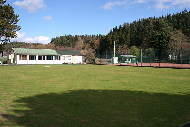
Image: © Anne Burgess Taken: 10 Apr 2014
The green is almost ready for the 2014 season, which starts a week on Saturday. One or two members are putting finishing touches to paintwork and edging. Beyond the bowling green are the village tennis courts, surfaced in red blaes.
Images are licensed for reuse under creativecommons.org/licenses/by-sa/2.0
Image Location
Latitude
57.469434
Longitude
-3.22321