Fleming Hospital
Introduction
The photograph on this page of Fleming Hospital by Anne Burgess as part of the Geograph project.
The Geograph project started in 2005 with the aim of publishing, organising and preserving representative images for every square kilometre of Great Britain, Ireland and the Isle of Man.

There are currently over 7.5m images from over 14,400 individuals and you can help contribute to the project by visiting https://www.geograph.org.uk
Fleming Hospital
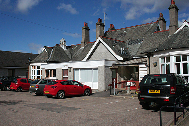
Image: © Anne Burgess Taken: 10 Apr 2014
The west elevation of the cottage hospital. It has obviously been altered and added to since it was first built in the early 20th century.
Images are licensed for reuse under creativecommons.org/licenses/by-sa/2.0
Image Location
Latitude
57.468622
Longitude
-3.223516