Public Bridleway
Introduction
The photograph on this page of Public Bridleway by Mr Biz as part of the Geograph project.
The Geograph project started in 2005 with the aim of publishing, organising and preserving representative images for every square kilometre of Great Britain, Ireland and the Isle of Man.

There are currently over 7.5m images from over 14,400 individuals and you can help contribute to the project by visiting https://www.geograph.org.uk
Public Bridleway
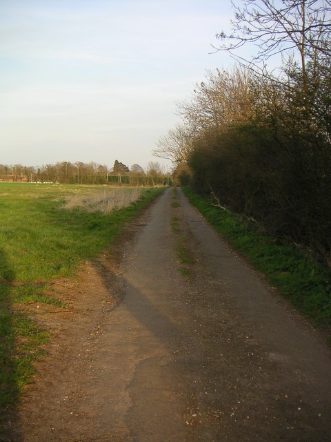
Image: © Mr Biz Taken: 6 Apr 2007
This bridleway runs from Chackmore to Buckingham Rugby Club. Looking in the direction of the rugby club, the first half of the bridleway is tarmaced road providing access to Chackmore Farm.
Images are licensed for reuse under creativecommons.org/licenses/by-sa/2.0
Image Location
Latitude
52.012091
Longitude
-0.982225