Waterdale: Bridleway to Bedmond
Introduction
The photograph on this page of Waterdale: Bridleway to Bedmond by Nigel Cox as part of the Geograph project.
The Geograph project started in 2005 with the aim of publishing, organising and preserving representative images for every square kilometre of Great Britain, Ireland and the Isle of Man.

There are currently over 7.5m images from over 14,400 individuals and you can help contribute to the project by visiting https://www.geograph.org.uk
Waterdale: Bridleway to Bedmond
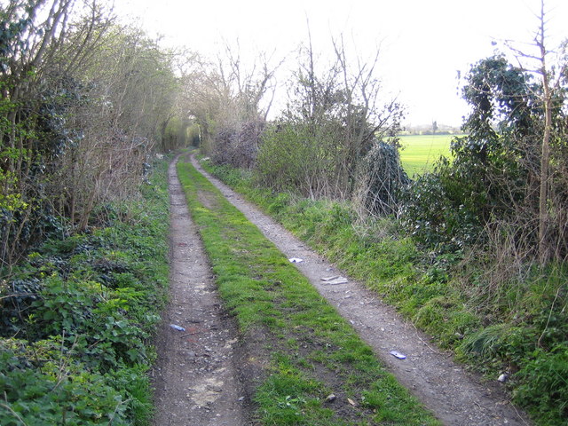
Image: © Nigel Cox Taken: 6 Apr 2007
This bridleway also marks the boundary between the Three Rivers District Council area to the left, and St Albans District Council to the right.
Images are licensed for reuse under creativecommons.org/licenses/by-sa/2.0
Image Location
Latitude
51.709404
Longitude
-0.39779