Bisterne Close
Introduction
The photograph on this page of Bisterne Close by mike smith as part of the Geograph project.
The Geograph project started in 2005 with the aim of publishing, organising and preserving representative images for every square kilometre of Great Britain, Ireland and the Isle of Man.

There are currently over 7.5m images from over 14,400 individuals and you can help contribute to the project by visiting https://www.geograph.org.uk
Bisterne Close
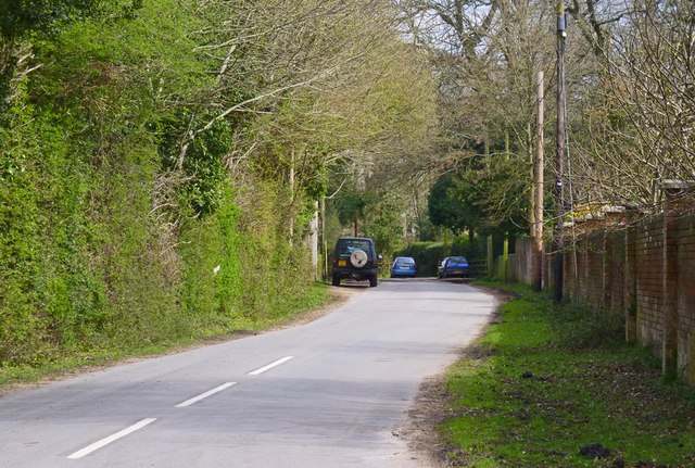
Image: © mike smith Taken: 11 Apr 2014
This road has the same name as the general area. It continues eastwards for just over a kilometre before turning back in a westward direction and taking the name Beechwood Lane. This road has many large, prestigious homes along its length.
Images are licensed for reuse under creativecommons.org/licenses/by-sa/2.0
Image Location
Latitude
50.823049
Longitude
-1.682365