Bestwood Colliery Village: mark of ownership
Introduction
The photograph on this page of Bestwood Colliery Village: mark of ownership by John Sutton as part of the Geograph project.
The Geograph project started in 2005 with the aim of publishing, organising and preserving representative images for every square kilometre of Great Britain, Ireland and the Isle of Man.

There are currently over 7.5m images from over 14,400 individuals and you can help contribute to the project by visiting https://www.geograph.org.uk
Bestwood Colliery Village: mark of ownership
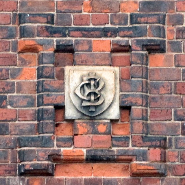
Image: © John Sutton Taken: 7 Apr 2014
A monogram on one of the terraced houses on Park Road, built by the Bestwood Coal & Iron Company in 1876. For an idea of the context, see Image
Images are licensed for reuse under creativecommons.org/licenses/by-sa/2.0
Image Location
Latitude
53.022756
Longitude
-1.177166