Start of path to Old Kilpatrick
Introduction
The photograph on this page of Start of path to Old Kilpatrick by Lairich Rig as part of the Geograph project.
The Geograph project started in 2005 with the aim of publishing, organising and preserving representative images for every square kilometre of Great Britain, Ireland and the Isle of Man.

There are currently over 7.5m images from over 14,400 individuals and you can help contribute to the project by visiting https://www.geograph.org.uk
Start of path to Old Kilpatrick
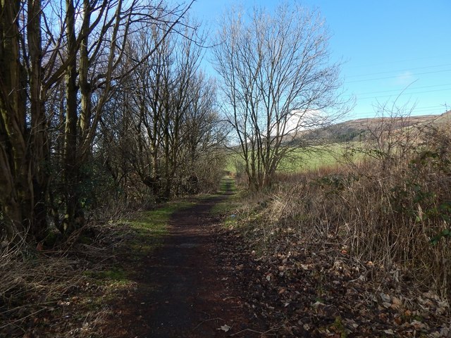
Image: © Lairich Rig Taken: 11 Mar 2014
The picture was taken from the starting point, which is shown in Image The Thomas Wood Path heads east from there, while the path to Old Kilpatrick, as shown in the present picture, heads west from the same point. Along much of this first part of the route there is a hedge to the left (south) of the path; that hedge marks the boundary of Image (compare that picture). The hedge to the right (north) separates the path from a field.
Images are licensed for reuse under creativecommons.org/licenses/by-sa/2.0
Image Location
Latitude
55.925802
Longitude
-4.434112