Walkway and cycle path
Introduction
The photograph on this page of Walkway and cycle path by Alan Hunt as part of the Geograph project.
The Geograph project started in 2005 with the aim of publishing, organising and preserving representative images for every square kilometre of Great Britain, Ireland and the Isle of Man.

There are currently over 7.5m images from over 14,400 individuals and you can help contribute to the project by visiting https://www.geograph.org.uk
Walkway and cycle path
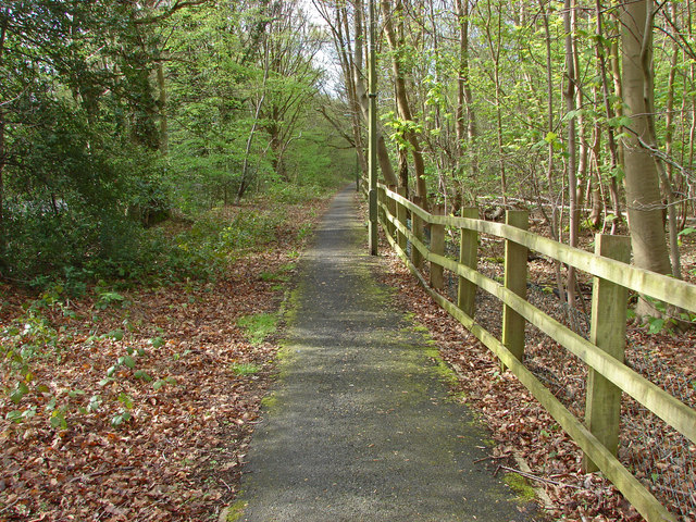
Image: © Alan Hunt Taken: 8 Apr 2014
The combined walkway and cycle path that runs alongside the A320 from Colebrooke Place to Wey Farm.
Images are licensed for reuse under creativecommons.org/licenses/by-sa/2.0
Image Location
Latitude
51.35746
Longitude
-0.536058