Oakleigh Park
Introduction
The photograph on this page of Oakleigh Park by Martin Addison as part of the Geograph project.
The Geograph project started in 2005 with the aim of publishing, organising and preserving representative images for every square kilometre of Great Britain, Ireland and the Isle of Man.

There are currently over 7.5m images from over 14,400 individuals and you can help contribute to the project by visiting https://www.geograph.org.uk
Oakleigh Park
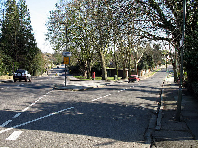
Image: © Martin Addison Taken: 6 Apr 2007
Oakleigh Park South, on the left, and Oakleigh Avenue go their separate ways. Because of the acute nature of the junction, Oakleigh Avenue's road name is displayed at rightangles to the traffic on Oakleigh Park South. The yellow sign reminds drivers of the 30mph speed limit. A modern pillarbox is sited on the v of the junction.
Images are licensed for reuse under creativecommons.org/licenses/by-sa/2.0
Image Location
Latitude
51.633154
Longitude
-0.164513