Winthorpe disused aerodrome, Newark showground: aerial 2014
Introduction
The photograph on this page of Winthorpe disused aerodrome, Newark showground: aerial 2014 by Chris as part of the Geograph project.
The Geograph project started in 2005 with the aim of publishing, organising and preserving representative images for every square kilometre of Great Britain, Ireland and the Isle of Man.

There are currently over 7.5m images from over 14,400 individuals and you can help contribute to the project by visiting https://www.geograph.org.uk
Winthorpe disused aerodrome, Newark showground: aerial 2014
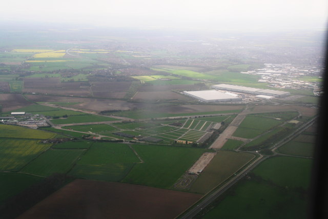
Image: © Chris Taken: 9 Apr 2014
Looking across the A46 Fosse Way and down the runway of former R.A.F. Winthorpe. Also the site of the Newark Air Museum and the Newark and Nottinghamshire Gliding Club. See: http://www.winthorpe.org.uk/the-history-of-winthorpe-airfield ; http://www.winthorpe.org.uk/winthorpe-airfield
Images are licensed for reuse under creativecommons.org/licenses/by-sa/2.0
Image Location
Latitude
53.097519
Longitude
-0.767724