Road, Oakly Park
Introduction
The photograph on this page of Road, Oakly Park by Richard Webb as part of the Geograph project.
The Geograph project started in 2005 with the aim of publishing, organising and preserving representative images for every square kilometre of Great Britain, Ireland and the Isle of Man.

There are currently over 7.5m images from over 14,400 individuals and you can help contribute to the project by visiting https://www.geograph.org.uk
Road, Oakly Park
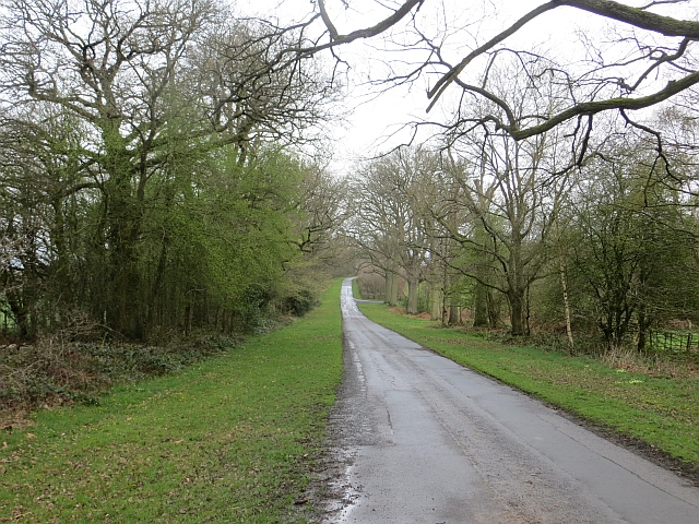
Image: © Richard Webb Taken: 6 Apr 2014
Back route for bikes etc between Ludlow and Bromfield as well as access to Lady Halton.
Images are licensed for reuse under creativecommons.org/licenses/by-sa/2.0
Image Location
Latitude
52.379978
Longitude
-2.755363