Grassed area with social housing in Stanley
Introduction
The photograph on this page of Grassed area with social housing in Stanley by Trevor Littlewood as part of the Geograph project.
The Geograph project started in 2005 with the aim of publishing, organising and preserving representative images for every square kilometre of Great Britain, Ireland and the Isle of Man.

There are currently over 7.5m images from over 14,400 individuals and you can help contribute to the project by visiting https://www.geograph.org.uk
Grassed area with social housing in Stanley
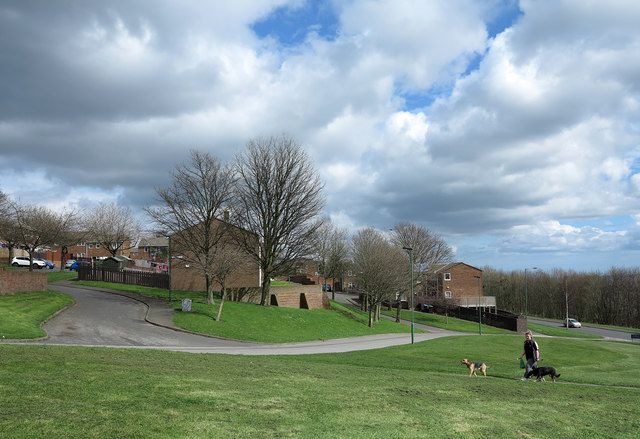
Image: © Trevor Littlewood Taken: 10 Apr 2014
The social housing of Brooks Close and Blakes Close would once have been known as council housing.
Images are licensed for reuse under creativecommons.org/licenses/by-sa/2.0
Image Location
Latitude
54.867866
Longitude
-1.688191