Rotary Way from the 'Asda Roundabout'
Introduction
The photograph on this page of Rotary Way from the 'Asda Roundabout' by Trevor Littlewood as part of the Geograph project.
The Geograph project started in 2005 with the aim of publishing, organising and preserving representative images for every square kilometre of Great Britain, Ireland and the Isle of Man.

There are currently over 7.5m images from over 14,400 individuals and you can help contribute to the project by visiting https://www.geograph.org.uk
Rotary Way from the 'Asda Roundabout'
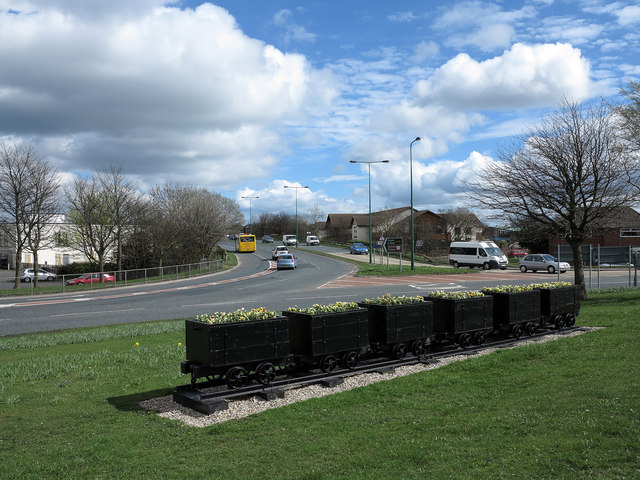
Image: © Trevor Littlewood Taken: 10 Apr 2014
The centre of the town of Stanley is bypassed by the A693. The view is of a stretch of that road named Rotary Way and is seen from what is known as the 'Asda Roundabout'. The decorative coal tubs, in use as flower tubs, reflect the coal mining heritage of the area.
Images are licensed for reuse under creativecommons.org/licenses/by-sa/2.0
Image Location
Latitude
54.868158
Longitude
-1.696915