Oilseed rape crop alongside Barnes Lane
Introduction
The photograph on this page of Oilseed rape crop alongside Barnes Lane by Marathon as part of the Geograph project.
The Geograph project started in 2005 with the aim of publishing, organising and preserving representative images for every square kilometre of Great Britain, Ireland and the Isle of Man.

There are currently over 7.5m images from over 14,400 individuals and you can help contribute to the project by visiting https://www.geograph.org.uk
Oilseed rape crop alongside Barnes Lane
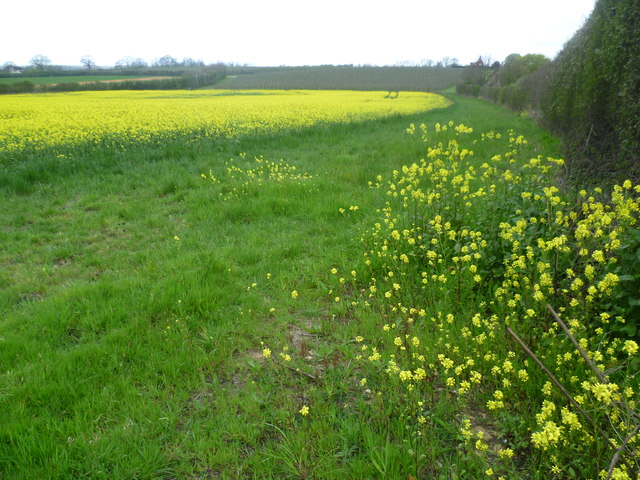
Image: © Marathon Taken: 6 Apr 2014
This view is on the corner of Wheeler's Lane, Vanity Lane and Barnes Lane. Barnes Lane is on the right, just the other side of the hedge. The bright yellow of the oilseed rape will be gone within a month or two.
Images are licensed for reuse under creativecommons.org/licenses/by-sa/2.0
Image Location
Latitude
51.21974
Longitude
0.50152