Dove Den
Introduction
The photograph on this page of Dove Den by Anne Burgess as part of the Geograph project.
The Geograph project started in 2005 with the aim of publishing, organising and preserving representative images for every square kilometre of Great Britain, Ireland and the Isle of Man.

There are currently over 7.5m images from over 14,400 individuals and you can help contribute to the project by visiting https://www.geograph.org.uk
Dove Den
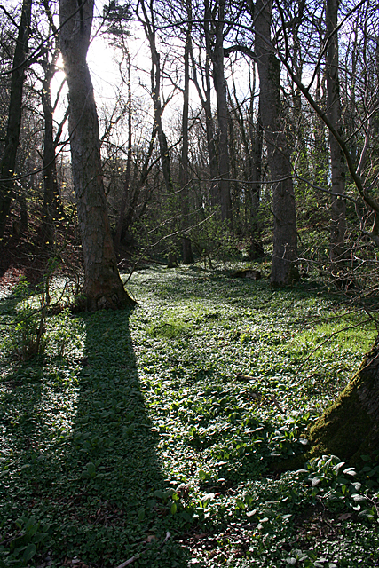
Image: © Anne Burgess Taken: 8 Apr 2014
Interestingly, the name here has shifted in quite recent times. When the area was surveyed for the six-inch Ordnance Survey map, the name was recorded as Duff Den, but the 1902 25-inch map calls it Dove Den.
Images are licensed for reuse under creativecommons.org/licenses/by-sa/2.0
Image Location
Latitude
57.585602
Longitude
-2.516945