The Thomas Wood Path
Introduction
The photograph on this page of The Thomas Wood Path by Lairich Rig as part of the Geograph project.
The Geograph project started in 2005 with the aim of publishing, organising and preserving representative images for every square kilometre of Great Britain, Ireland and the Isle of Man.

There are currently over 7.5m images from over 14,400 individuals and you can help contribute to the project by visiting https://www.geograph.org.uk
The Thomas Wood Path
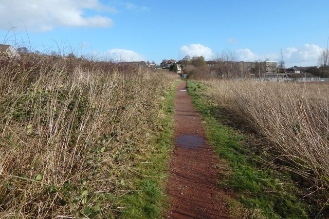
Image: © Lairich Rig Taken: 10 Mar 2014
This is a view from about halfway along the path, looking east, towards the point where it meets the western end of Beeches Road in Duntocher.
Images are licensed for reuse under creativecommons.org/licenses/by-sa/2.0
Image Location
Latitude
55.925593
Longitude
-4.431057