Riding Stones
Introduction
The photograph on this page of Riding Stones by Anne Burgess as part of the Geograph project.
The Geograph project started in 2005 with the aim of publishing, organising and preserving representative images for every square kilometre of Great Britain, Ireland and the Isle of Man.

There are currently over 7.5m images from over 14,400 individuals and you can help contribute to the project by visiting https://www.geograph.org.uk
Riding Stones
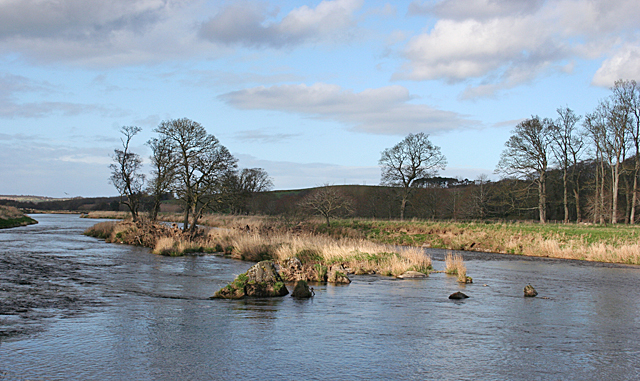
Image: © Anne Burgess Taken: 8 Apr 2014
The 1902 25-inch Ordnance Survey map names the stones in the riverbed here, between the foot of Newton Den and the island in the middle of the River Deveron. There is a small step down in the riverbed, so the stones, and perhaps the island, must be a rib of a resistant rock type.
Images are licensed for reuse under creativecommons.org/licenses/by-sa/2.0
Image Location
Latitude
57.588117
Longitude
-2.516981