Council boundary sign, Greenisland (April 2014)
Introduction
The photograph on this page of Council boundary sign, Greenisland (April 2014) by Albert Bridge as part of the Geograph project.
The Geograph project started in 2005 with the aim of publishing, organising and preserving representative images for every square kilometre of Great Britain, Ireland and the Isle of Man.

There are currently over 7.5m images from over 14,400 individuals and you can help contribute to the project by visiting https://www.geograph.org.uk
Council boundary sign, Greenisland (April 2014)
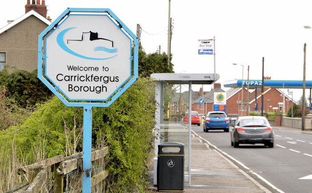
Image: © Albert Bridge Taken: 9 Apr 2014
The new councils and their boundaries http://www.doeni.gov.uk/reform_maps/ are due in 2015 following elections next month. Carrickfergus Borough will become part of the Mid and East Antrim District. This sign is on the Upper Road/Old Carrick Road.
Images are licensed for reuse under creativecommons.org/licenses/by-sa/2.0
Image Location
Latitude
54.700824
Longitude
-5.88819