Endcliffe Park, Sheffield 11
Introduction
The photograph on this page of Endcliffe Park, Sheffield 11 by David Hallam-Jones as part of the Geograph project.
The Geograph project started in 2005 with the aim of publishing, organising and preserving representative images for every square kilometre of Great Britain, Ireland and the Isle of Man.

There are currently over 7.5m images from over 14,400 individuals and you can help contribute to the project by visiting https://www.geograph.org.uk
Endcliffe Park, Sheffield 11
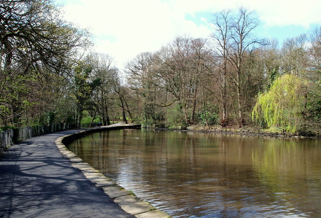
Image: © David Hallam-Jones Taken: 8 Apr 2014
Looking back towards the Rustlings Road entrance/exit of this park. The main grassed recreational area of Endcliffe Park is 5 minutes walk away behind the photographer. This is part of the locally well-known "Sheffield Round Walk". The Round Walk is a 14 mile walk through the south west of Sheffield. In an anti-clockwise fashion it takes in Hunters Bar, continues along the Porter valley to Ringinglow. It then descends through the Limb valley and Ecclesall Woods to Abbeydale Road, before climbing through Ladies Spring Wood to Graves Park. It then passes through the Gleadless valley, Meersbrook Park and Chelsea Park and finally ends up in Hunters Bar once more.
Images are licensed for reuse under creativecommons.org/licenses/by-sa/2.0
Image Location
Latitude
53.36824
Longitude
-1.510028