Housing on Upper Park Road, Belsize Park
Introduction
The photograph on this page of Housing on Upper Park Road, Belsize Park by Kate Jewell as part of the Geograph project.
The Geograph project started in 2005 with the aim of publishing, organising and preserving representative images for every square kilometre of Great Britain, Ireland and the Isle of Man.

There are currently over 7.5m images from over 14,400 individuals and you can help contribute to the project by visiting https://www.geograph.org.uk
Housing on Upper Park Road, Belsize Park
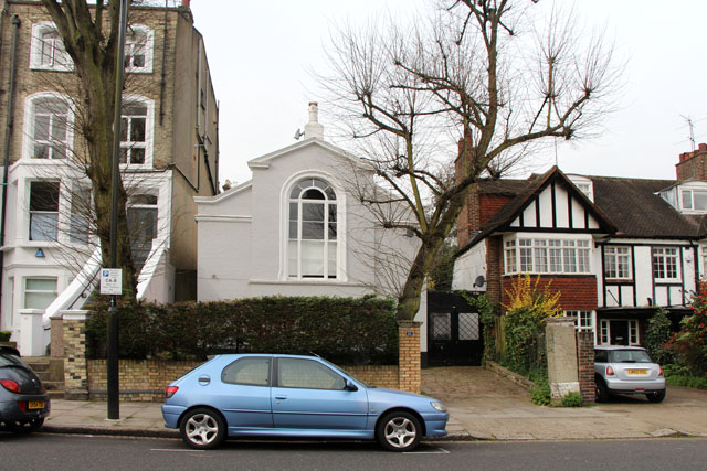
Image: © Kate Jewell Taken: 31 Mar 2014
No.51, Upper Park Road is completely out of character compared to the older Victorian housing and the early 20th Century developments. It looks like it was a chapel, a reading room or something similar but I haven't been able to find out any detail.
Images are licensed for reuse under creativecommons.org/licenses/by-sa/2.0
Image Location
Latitude
51.551626
Longitude
-0.160873