Northway and Barwick Street junction
Introduction
The photograph on this page of Northway and Barwick Street junction by Christopher Hall as part of the Geograph project.
The Geograph project started in 2005 with the aim of publishing, organising and preserving representative images for every square kilometre of Great Britain, Ireland and the Isle of Man.

There are currently over 7.5m images from over 14,400 individuals and you can help contribute to the project by visiting https://www.geograph.org.uk
Northway and Barwick Street junction
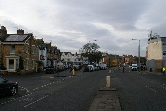
Image: © Christopher Hall Taken: 10 Jan 2014
The street called Northway was created in the 1930s in order to improve traffic links from the South cliff area, across Valley Bridge, to the north side. Demolition started in 1930 and at this point Lower Albion Street was greatly altered by the removal of a large house and garden called Westbrook; houses on the south side of what was Lower Albion Road remain on the spur road beyond the junction with Barwick Street but are now numbered in Northway. This realignment created a triangular green space where the trees are.
Images are licensed for reuse under creativecommons.org/licenses/by-sa/2.0
Image Location
Latitude
54.282365
Longitude
-0.410058