Presteigne Methodist chapel and hall
Introduction
The photograph on this page of Presteigne Methodist chapel and hall by Jaggery as part of the Geograph project.
The Geograph project started in 2005 with the aim of publishing, organising and preserving representative images for every square kilometre of Great Britain, Ireland and the Isle of Man.

There are currently over 7.5m images from over 14,400 individuals and you can help contribute to the project by visiting https://www.geograph.org.uk
Presteigne Methodist chapel and hall
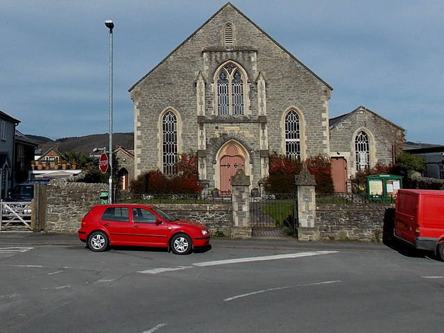
Image: © Jaggery Taken: 19 Mar 2014
Viewed across the B4356 from the corner of Warden Road. Part of the Southern Area of the Shropshire and Marches Methodist Circuit, the chapel was built in the 1860s. The hall on the right was added in 1888 as a school room.
Images are licensed for reuse under creativecommons.org/licenses/by-sa/2.0
Image Location
Latitude
52.275325
Longitude
-3.008753