Ball games area, Victory Community Park, Walworth
Introduction
The photograph on this page of Ball games area, Victory Community Park, Walworth by Robin Stott as part of the Geograph project.
The Geograph project started in 2005 with the aim of publishing, organising and preserving representative images for every square kilometre of Great Britain, Ireland and the Isle of Man.

There are currently over 7.5m images from over 14,400 individuals and you can help contribute to the project by visiting https://www.geograph.org.uk
Ball games area, Victory Community Park, Walworth
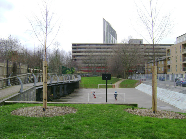
Image: © Robin Stott Taken: 9 Feb 2014
The L-shaped park takes its name from Victory Place at its southeast corner. It adjoins Victory Primary School, Elba Place. In view here are a slab of the Heygate Estate, vacated and awaiting demolition, with the Strata Tower at Elephant and Castle beyond it. On the right is Munton Road.
Images are licensed for reuse under creativecommons.org/licenses/by-sa/2.0
Image Location
Latitude
51.493258
Longitude
-0.092923