Path in Lusset Glen
Introduction
The photograph on this page of Path in Lusset Glen by Lairich Rig as part of the Geograph project.
The Geograph project started in 2005 with the aim of publishing, organising and preserving representative images for every square kilometre of Great Britain, Ireland and the Isle of Man.

There are currently over 7.5m images from over 14,400 individuals and you can help contribute to the project by visiting https://www.geograph.org.uk
Path in Lusset Glen
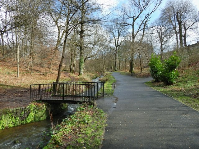
Image: © Lairich Rig Taken: 10 Mar 2014
The map shows the "Dalnottar Burn" flowing here, but the Lusset Burn seems to be the genuine local name, at least for this part of its course.
Images are licensed for reuse under creativecommons.org/licenses/by-sa/2.0
Image Location
Latitude
55.922174
Longitude
-4.453892