Entrance to Jenny's Well Local Nature Reserve
Introduction
The photograph on this page of Entrance to Jenny's Well Local Nature Reserve by Lairich Rig as part of the Geograph project.
The Geograph project started in 2005 with the aim of publishing, organising and preserving representative images for every square kilometre of Great Britain, Ireland and the Isle of Man.

There are currently over 7.5m images from over 14,400 individuals and you can help contribute to the project by visiting https://www.geograph.org.uk
Entrance to Jenny's Well Local Nature Reserve
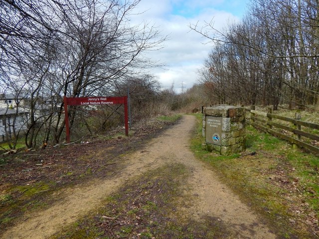
Image: © Lairich Rig Taken: 7 Mar 2014
See Image for an earlier picture, with different signage. On the occasion of the present photograph, the path was, not far ahead, blocked on account of some work (possibly on behalf of Scottish Water) taking place there: Image
Images are licensed for reuse under creativecommons.org/licenses/by-sa/2.0
Image Location
Latitude
55.835725
Longitude
-4.403084