Aberdulais falls
Introduction
The photograph on this page of Aberdulais falls by Hywel Williams as part of the Geograph project.
The Geograph project started in 2005 with the aim of publishing, organising and preserving representative images for every square kilometre of Great Britain, Ireland and the Isle of Man.

There are currently over 7.5m images from over 14,400 individuals and you can help contribute to the project by visiting https://www.geograph.org.uk
Aberdulais falls
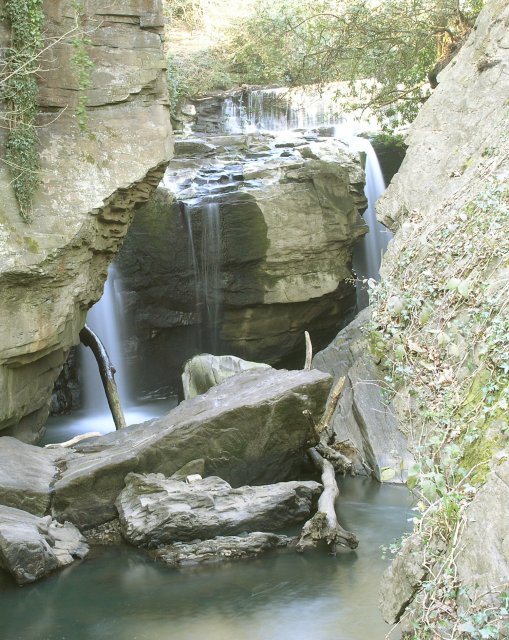
Image: © Hywel Williams Taken: 7 Apr 2007
The falls at Aberdulais have less flow than usual due to recent lower rain levels. In parallel with the falls, the National Trust have built a power generating station which not only provides electricity for the site, but also provides a safe route for salmon to migrate up the falls.
Images are licensed for reuse under creativecommons.org/licenses/by-sa/2.0
Image Location
Latitude
51.679876
Longitude
-3.778987