Bonnersfield Lane
Introduction
The photograph on this page of Bonnersfield Lane by Martin Addison as part of the Geograph project.
The Geograph project started in 2005 with the aim of publishing, organising and preserving representative images for every square kilometre of Great Britain, Ireland and the Isle of Man.

There are currently over 7.5m images from over 14,400 individuals and you can help contribute to the project by visiting https://www.geograph.org.uk
Bonnersfield Lane
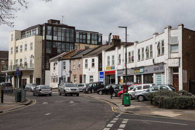
Image: © Martin Addison Taken: 4 Apr 2014
Seen from the junction with Courtfield Avenue, looking towards the A409 Station Road / Sheepcote Road.
Images are licensed for reuse under creativecommons.org/licenses/by-sa/2.0
Image Location
Latitude
51.583485
Longitude
-0.331064