The Hamel, Oxford
Introduction
The photograph on this page of The Hamel, Oxford by Stephen Craven as part of the Geograph project.
The Geograph project started in 2005 with the aim of publishing, organising and preserving representative images for every square kilometre of Great Britain, Ireland and the Isle of Man.

There are currently over 7.5m images from over 14,400 individuals and you can help contribute to the project by visiting https://www.geograph.org.uk
The Hamel, Oxford
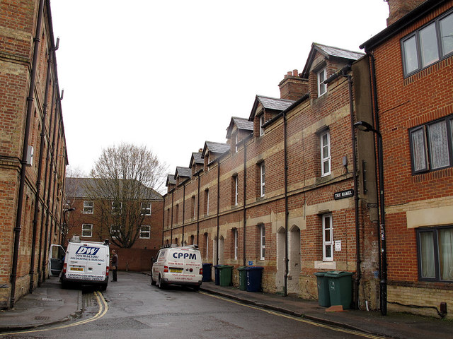
Image: © Stephen Craven Taken: 25 Mar 2014
Now a dead-end street off Osney Lane, this was part of a historic road from the High Street to Osney Abbey. The present buildings date from 1868.
Images are licensed for reuse under creativecommons.org/licenses/by-sa/2.0
Image Location
Latitude
51.7513
Longitude
-1.265799