Abergavenny: Brecon Road, near former station, 1990
Introduction
The photograph on this page of Abergavenny: Brecon Road, near former station, 1990 by Ben Brooksbank as part of the Geograph project.
The Geograph project started in 2005 with the aim of publishing, organising and preserving representative images for every square kilometre of Great Britain, Ireland and the Isle of Man.

There are currently over 7.5m images from over 14,400 individuals and you can help contribute to the project by visiting https://www.geograph.org.uk
Abergavenny: Brecon Road, near former station, 1990
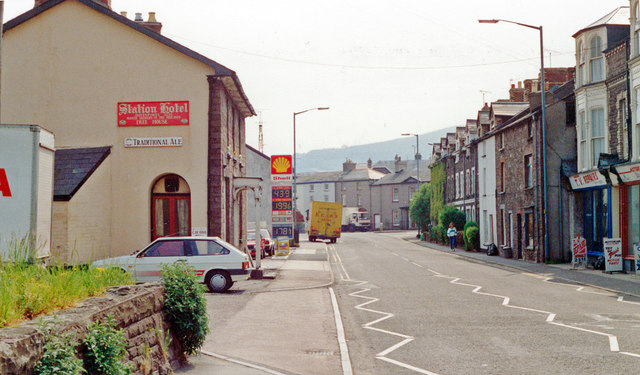
Image: © Ben Brooksbank Taken: 21 May 1990
View eastward, away from site of former Brecon Road station, which was on the ex-LNW Abergavenny Junction - Brynmawr - Merthyr line - closed in 1/58.
Images are licensed for reuse under creativecommons.org/licenses/by-sa/2.0
Image Location
Latitude
51.824834
Longitude
-3.024194