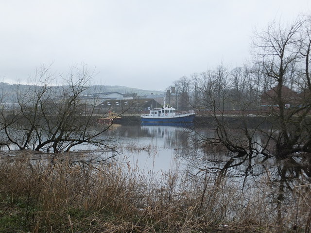
Friarton Harbour, Perth
Introduction
The photograph on this page of Friarton Harbour, Perth by Alpin Stewart as part of the Geograph project.
The Geograph project started in 2005 with the aim of publishing, organising and preserving representative images for every square kilometre of Great Britain, Ireland and the Isle of Man.
There are currently over 7.5m images from over 14,400 individuals and you can help contribute to the project by visiting https://www.geograph.org.uk

Image: © Alpin Stewart Taken: 5 Apr 2014
In 1834, Robert Stevenson and Son, Civil Engineers of Edinburgh, recommended a programme of dredging, fording and water diversion to create a permanently navigable channel up river to Perth. A new wet dock was proposed to cope with the increased traffic which would be created by the improvement works, with a tidal basin extending from Friarton to the South Inch. Approval was given for these ambitious plans and work began in the 1840s. The tidal basin was completed, but it was not long before the project ran into financial difficulties and the scheme was abandoned when the Town Council debt reached £70,000. Quays were added in 1898 and 1939 and these facilities are still in use today. This view is from Moncreiffe Island.

