North Walton farm road
Introduction
The photograph on this page of North Walton farm road by Alec MacKinnon as part of the Geograph project.
The Geograph project started in 2005 with the aim of publishing, organising and preserving representative images for every square kilometre of Great Britain, Ireland and the Isle of Man.

There are currently over 7.5m images from over 14,400 individuals and you can help contribute to the project by visiting https://www.geograph.org.uk
North Walton farm road
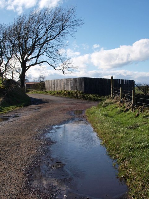
Image: © Alec MacKinnon Taken: 6 Apr 2014
A minor public road loops off Springhill Road at Walton Dam. Here it turns sharp right, at the start of the road to North Walton farm.
Images are licensed for reuse under creativecommons.org/licenses/by-sa/2.0
Image Location
Latitude
55.765137
Longitude
-4.404796