Bridge End
Introduction
The photograph on this page of Bridge End by Derek Harper as part of the Geograph project.
The Geograph project started in 2005 with the aim of publishing, organising and preserving representative images for every square kilometre of Great Britain, Ireland and the Isle of Man.

There are currently over 7.5m images from over 14,400 individuals and you can help contribute to the project by visiting https://www.geograph.org.uk
Bridge End
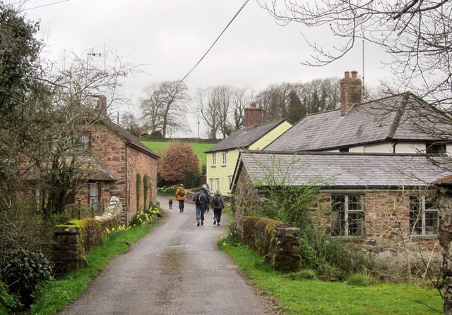
Image: © Derek Harper Taken: 6 Apr 2014
In the foreground are the parapets of the bridge carrying Hansetown Road over the River Haddeo. The lane, which forms the boundary of the Exmoor National Park (left), passes cottages before climbing towards Henstown.
Images are licensed for reuse under creativecommons.org/licenses/by-sa/2.0
Image Location
Latitude
51.052197
Longitude
-3.438929