Woodland path near Bowling
Introduction
The photograph on this page of Woodland path near Bowling by Lairich Rig as part of the Geograph project.
The Geograph project started in 2005 with the aim of publishing, organising and preserving representative images for every square kilometre of Great Britain, Ireland and the Isle of Man.

There are currently over 7.5m images from over 14,400 individuals and you can help contribute to the project by visiting https://www.geograph.org.uk
Woodland path near Bowling
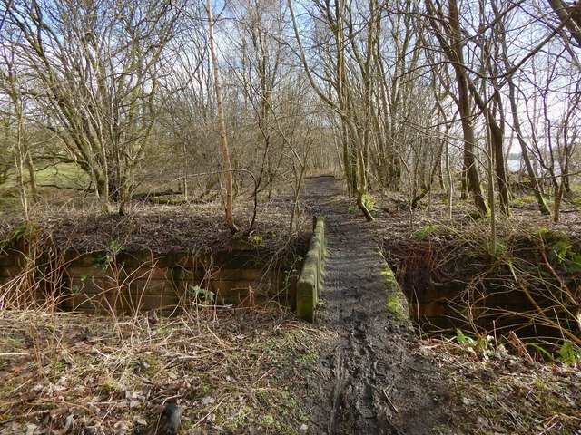
Image: © Lairich Rig Taken: 3 Mar 2014
Indistinctly visible through the trees on the right are the River Clyde and the Erskine Bridge. As the map shows, the path closely follows what was once the course of a railway line; the structures crossed by the path at this point were associated with that line. See Image, another remnant of the same line.
Images are licensed for reuse under creativecommons.org/licenses/by-sa/2.0
Image Location
Latitude
55.927685
Longitude
-4.474893