Anguston quarry
Introduction
The photograph on this page of Anguston quarry by Alan Findlay as part of the Geograph project.
The Geograph project started in 2005 with the aim of publishing, organising and preserving representative images for every square kilometre of Great Britain, Ireland and the Isle of Man.

There are currently over 7.5m images from over 14,400 individuals and you can help contribute to the project by visiting https://www.geograph.org.uk
Anguston quarry
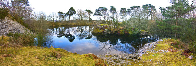
Image: © Alan Findlay Taken: 10 Mar 2014
The granite from this water filled quarry was used as ballast for the now defunct Deeside rail line, the water is used by the nearby community.
Images are licensed for reuse under creativecommons.org/licenses/by-sa/2.0
Image Location
Latitude
57.107563
Longitude
-2.319591