A416 Chesham Bois 2
Introduction
The photograph on this page of A416 Chesham Bois 2 by Simon Hollett as part of the Geograph project.
The Geograph project started in 2005 with the aim of publishing, organising and preserving representative images for every square kilometre of Great Britain, Ireland and the Isle of Man.

There are currently over 7.5m images from over 14,400 individuals and you can help contribute to the project by visiting https://www.geograph.org.uk
A416 Chesham Bois 2
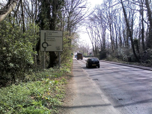
Image: © Simon Hollett Taken: 3 Apr 2014
The A416 approaching its roundabout with Copperkins Lane
Images are licensed for reuse under creativecommons.org/licenses/by-sa/2.0
Image Location
Latitude
51.682989
Longitude
-0.611362