Blackhorse Bridge
Introduction
The photograph on this page of Blackhorse Bridge by Simon Hollett as part of the Geograph project.
The Geograph project started in 2005 with the aim of publishing, organising and preserving representative images for every square kilometre of Great Britain, Ireland and the Isle of Man.

There are currently over 7.5m images from over 14,400 individuals and you can help contribute to the project by visiting https://www.geograph.org.uk
Blackhorse Bridge
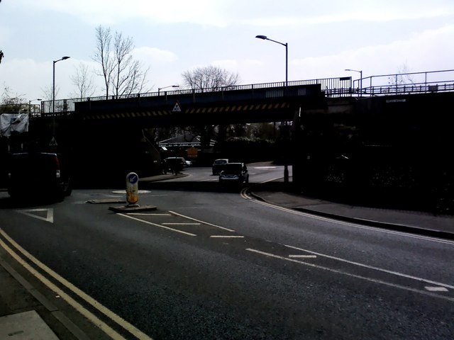
Image: © Simon Hollett Taken: 3 Apr 2014
Named after the pub demolished by the railway, Blackhorse Bridge passes over the A4154 Woodside Road, just north of the A404
Images are licensed for reuse under creativecommons.org/licenses/by-sa/2.0
Image Location


Leaflet Map data © OpenStreetMap
Latitude
51.672869
Longitude
-0.592148