Footpath through the woodlands, Hollybush
Introduction
The photograph on this page of Footpath through the woodlands, Hollybush by Robin Drayton as part of the Geograph project.
The Geograph project started in 2005 with the aim of publishing, organising and preserving representative images for every square kilometre of Great Britain, Ireland and the Isle of Man.

There are currently over 7.5m images from over 14,400 individuals and you can help contribute to the project by visiting https://www.geograph.org.uk
Footpath through the woodlands, Hollybush
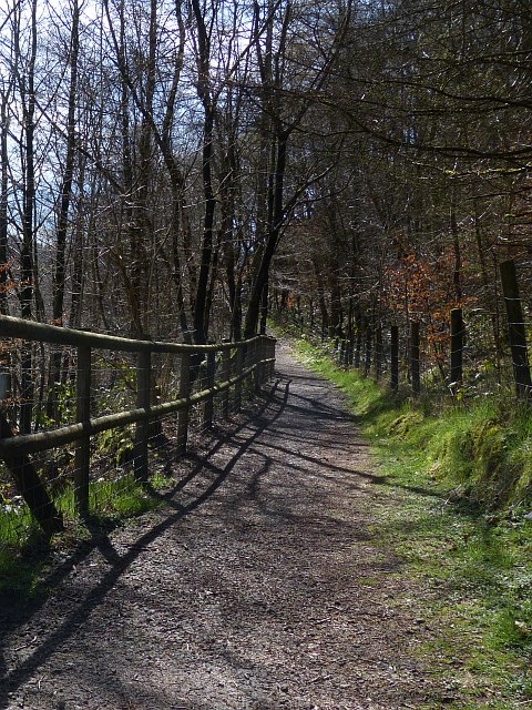
Image: © Robin Drayton Taken: 1 Apr 2014
This path leads down from the entrance to the woodlands http://www.geograph.org.uk/photo/3916969 to the River Sirhowy http://www.geograph.org.uk/photo/3916973 .
Images are licensed for reuse under creativecommons.org/licenses/by-sa/2.0
Image Location
Latitude
51.725253
Longitude
-3.208856