Ford on the Nurton Brook
Introduction
The photograph on this page of Ford on the Nurton Brook by John M as part of the Geograph project.
The Geograph project started in 2005 with the aim of publishing, organising and preserving representative images for every square kilometre of Great Britain, Ireland and the Isle of Man.

There are currently over 7.5m images from over 14,400 individuals and you can help contribute to the project by visiting https://www.geograph.org.uk
Ford on the Nurton Brook
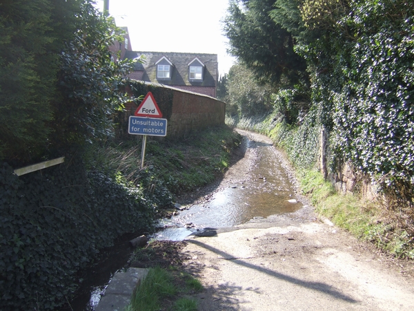
Image: © John M Taken: 7 Apr 2007
This ford in the village centre does not appear to be shown on the OS maps.
Images are licensed for reuse under creativecommons.org/licenses/by-sa/2.0
Image Location
Latitude
52.582978
Longitude
-2.243326