White Rocks & King Arthur's Cave parking area, Doward
Introduction
The photograph on this page of White Rocks & King Arthur's Cave parking area, Doward by Jaggery as part of the Geograph project.
The Geograph project started in 2005 with the aim of publishing, organising and preserving representative images for every square kilometre of Great Britain, Ireland and the Isle of Man.

There are currently over 7.5m images from over 14,400 individuals and you can help contribute to the project by visiting https://www.geograph.org.uk
White Rocks & King Arthur's Cave parking area, Doward
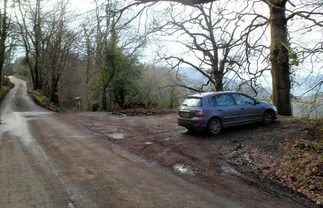
Image: © Jaggery Taken: 12 Feb 2012
There is a Herefordshire Nature Trust welcome and information board at the edge of the parking area. Among the information shown is that this location is a large rocky hill known as The Doward. It is formed from hard quartz and soft limestone and is a mosaic of wildlife-rich habitats. White Rocks is a former limestone quarry fringed with woodland. King Arthur's Cave straddles a footpath that leads down the hill.
Images are licensed for reuse under creativecommons.org/licenses/by-sa/2.0
Image Location
Latitude
51.839327
Longitude
-2.657159