Tenterfields, Luddenden Foot
Introduction
The photograph on this page of Tenterfields, Luddenden Foot by Paul Glazzard as part of the Geograph project.
The Geograph project started in 2005 with the aim of publishing, organising and preserving representative images for every square kilometre of Great Britain, Ireland and the Isle of Man.

There are currently over 7.5m images from over 14,400 individuals and you can help contribute to the project by visiting https://www.geograph.org.uk
Tenterfields, Luddenden Foot
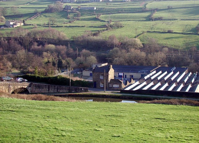
Image: © Paul Glazzard Taken: 4 Apr 2007
Former mill now Tenterfields Business Park, sandwiched between the Rochdale Canal and the River Calder, with Longbottom Bridge on the left of the picture.
Images are licensed for reuse under creativecommons.org/licenses/by-sa/2.0
Image Location


Leaflet Map data © OpenStreetMap
Latitude
53.713572
Longitude
-1.937539