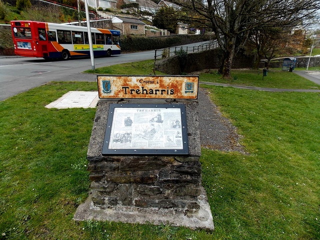
Croeso i Treharris
Introduction
The photograph on this page of Croeso i Treharris by Jaggery as part of the Geograph project.
The Geograph project started in 2005 with the aim of publishing, organising and preserving representative images for every square kilometre of Great Britain, Ireland and the Isle of Man.
There are currently over 7.5m images from over 14,400 individuals and you can help contribute to the project by visiting https://www.geograph.org.uk

Image: © Jaggery Taken: 27 Mar 2014
Located at the edge of a hairpin bend. http://www.geograph.org.uk/photo/3915092 The metal plate showing Croeso i Treharris (Welsh for Welcome to Treharris) is above a Treharris information board in English. Among the many facts on display, I learnt that the pre-industrial name for this area was Twyn y Garreg (rock or stone hillock). The town was formed in the 1870s around the Deep Navigation Colliery, owned by F.W.Harris. The colliery's original name was Harris's Navigation Pits. Treharris is literally Harris's Town.

