Owens Way, Gillingham
Introduction
The photograph on this page of Owens Way, Gillingham by Dylan Moore as part of the Geograph project.
The Geograph project started in 2005 with the aim of publishing, organising and preserving representative images for every square kilometre of Great Britain, Ireland and the Isle of Man.

There are currently over 7.5m images from over 14,400 individuals and you can help contribute to the project by visiting https://www.geograph.org.uk
Owens Way, Gillingham
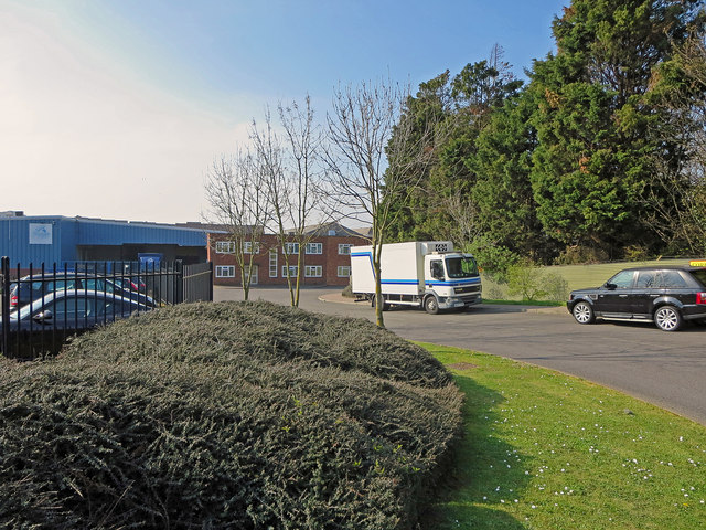
Image: © Dylan Moore Taken: 1 Apr 2014
This was originally the entrance to the Gillingham cement plant, which operated intermittently between 1874 and 1939. For details, see www.cementkilns.co.uk/cement_kiln_gillingham.html and related pages. The old, pre-WWI plant was in the land to the right. After WWI, the plant extended onto the west side of the road, and a rotary kiln was built on the land now occupied by Waterside Lane.
Images are licensed for reuse under creativecommons.org/licenses/by-sa/2.0
Image Location
Latitude
51.391702
Longitude
0.571929