Gresham Place, Treharris
Introduction
The photograph on this page of Gresham Place, Treharris by Jaggery as part of the Geograph project.
The Geograph project started in 2005 with the aim of publishing, organising and preserving representative images for every square kilometre of Great Britain, Ireland and the Isle of Man.

There are currently over 7.5m images from over 14,400 individuals and you can help contribute to the project by visiting https://www.geograph.org.uk
Gresham Place, Treharris
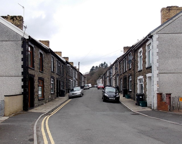
Image: © Jaggery Taken: 27 Mar 2014
Gresham Place is a 150 metre long cul-de-sac on the north bank of the River Taff. Viewed from the A4054 Cardiff Road end.
Images are licensed for reuse under creativecommons.org/licenses/by-sa/2.0
Image Location
Latitude
51.663434
Longitude
-3.313626