The A40 north-west of Stokenchurch - and the BT radio mast
Introduction
The photograph on this page of The A40 north-west of Stokenchurch - and the BT radio mast by Stefan Czapski as part of the Geograph project.
The Geograph project started in 2005 with the aim of publishing, organising and preserving representative images for every square kilometre of Great Britain, Ireland and the Isle of Man.

There are currently over 7.5m images from over 14,400 individuals and you can help contribute to the project by visiting https://www.geograph.org.uk
The A40 north-west of Stokenchurch - and the BT radio mast
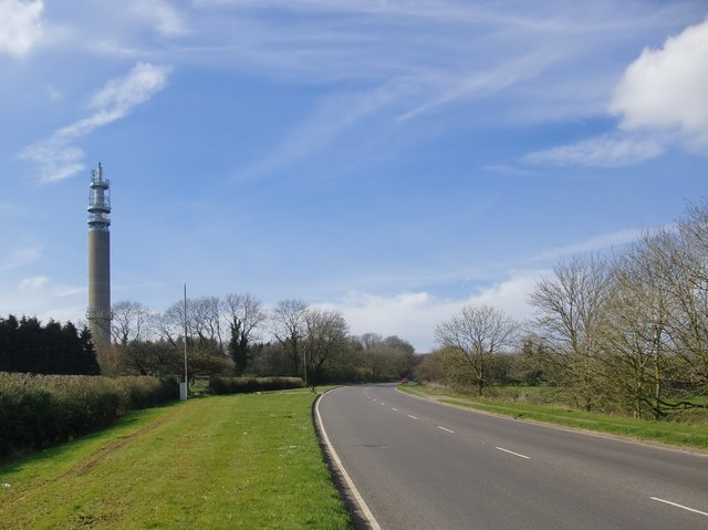
Image: © Stefan Czapski Taken: 1 Apr 2014
Until the building of the M40 this was the main road connecting London with Oxford, Cheltenham, Gloucester and South Wales. This old trunk-road now seems rather under-used - at the time of the photo, on a weekday afternoon in April, vehicles were passing at a rate of less than one per minute in each direction. Not far ahead the road reaches the crest of the Chiltern scarp, and then snakes down through woodland toward the Icknield Way.
Images are licensed for reuse under creativecommons.org/licenses/by-sa/2.0
Image Location
Latitude
51.664934
Longitude
-0.921341