View down Water Lane from outside South Park Chapel
Introduction
The photograph on this page of View down Water Lane from outside South Park Chapel by Robert Lamb as part of the Geograph project.
The Geograph project started in 2005 with the aim of publishing, organising and preserving representative images for every square kilometre of Great Britain, Ireland and the Isle of Man.

There are currently over 7.5m images from over 14,400 individuals and you can help contribute to the project by visiting https://www.geograph.org.uk
View down Water Lane from outside South Park Chapel
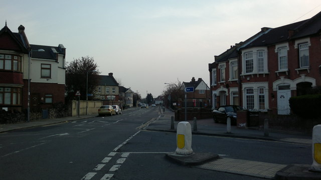
Image: © Robert Lamb Taken: 28 Mar 2014
Looking south-southwest. South Park Primary School can be seen to the right.
Images are licensed for reuse under creativecommons.org/licenses/by-sa/2.0
Image Location
Latitude
51.55816
Longitude
0.098201