Birnock Water and play park
Introduction
The photograph on this page of Birnock Water and play park by Richard Dorrell as part of the Geograph project.
The Geograph project started in 2005 with the aim of publishing, organising and preserving representative images for every square kilometre of Great Britain, Ireland and the Isle of Man.

There are currently over 7.5m images from over 14,400 individuals and you can help contribute to the project by visiting https://www.geograph.org.uk
Birnock Water and play park
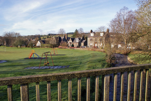
Image: © Richard Dorrell Taken: 10 Mar 2014
Viewed from a footbridge connecting Well Road to Park Circle, the burn flows around the edge of a small park which contains some children's play equipment. The buildings shown are in Burnside.
Images are licensed for reuse under creativecommons.org/licenses/by-sa/2.0
Image Location
Latitude
55.333073
Longitude
-3.439824