Upper Park Road, Belsize Park
Introduction
The photograph on this page of Upper Park Road, Belsize Park by Kate Jewell as part of the Geograph project.
The Geograph project started in 2005 with the aim of publishing, organising and preserving representative images for every square kilometre of Great Britain, Ireland and the Isle of Man.

There are currently over 7.5m images from over 14,400 individuals and you can help contribute to the project by visiting https://www.geograph.org.uk
Upper Park Road, Belsize Park
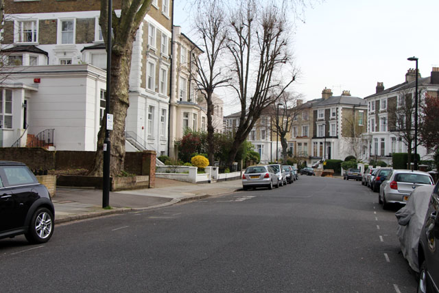
Image: © Kate Jewell Taken: 30 Mar 2014
The south end of Upper Park Road consists of large semi-detached Victorian villas, once single houses. The majority of these have now been converted into flats and many have extensions across the coach entrances at the side. The houses on the left of the photograph, numbers 3 & 5 demonstrate this clearly. See Image
Images are licensed for reuse under creativecommons.org/licenses/by-sa/2.0
Image Location
Latitude
51.549642
Longitude
-0.160521