Derelict building seen from Thurnham Lane
Introduction
The photograph on this page of Derelict building seen from Thurnham Lane by Marathon as part of the Geograph project.
The Geograph project started in 2005 with the aim of publishing, organising and preserving representative images for every square kilometre of Great Britain, Ireland and the Isle of Man.

There are currently over 7.5m images from over 14,400 individuals and you can help contribute to the project by visiting https://www.geograph.org.uk
Derelict building seen from Thurnham Lane
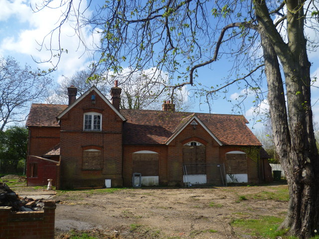
Image: © Marathon Taken: 1 Apr 2014
Thurnham Lane leads from Bearsted station to the village of Thurnham and eventually to Thurnham Castle on the North Downs. This building is shortly before Thurnham Lane passes under the M20 and just before the terrace at http://www.geograph.org.uk/photo/3913262 It looks like it could once have been a school.
Images are licensed for reuse under creativecommons.org/licenses/by-sa/2.0
Image Location
Latitude
51.278281
Longitude
0.580558